| |
BHUVAN-NEWS-26Aug2015 |
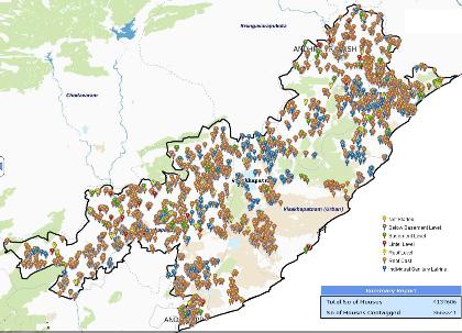
Asset Mapping-A.P.State Housing Corporation
Public version of AP State Housing Corporation Ltd. asset mapping application having option to view 3.6 million geotagged houses.Visit
|
 |
Built-up area in 3D
Visualization of Built-up Area in 3D/ views with Extrusions of the buildings Bangalore, Gurgaon, Hyderabad, Kolkata, Mumbai.
|
 |
Cadastral Boundary
Visualization of Cadastral Boundary with High Resolution Satellite data for Andhra Pradesh, Chhattisgarh, Haryana, Kerala, Tamilnadu. Telangana.
|
 |
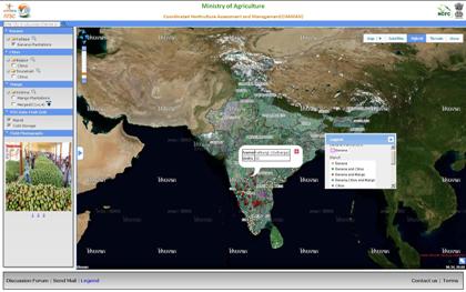
Coordinated Programme on Horticulture Assessment & Management using Geoinformatics(CHAMAN)
A national mission of DAC, MOA having objectives of � Area assessment and production forecasting of major horticultural crops in selected districts of major states of India. � Geospatial Applications for Horticultural Development and Management Planning (Site Suitability, Post-Harvest Infrastructure, Crop Intensification, GIS database creation, Orchard Rejuvenation, Aqua-horticulture) � Detailed scientific field level studies for developing technology for crop identification, yield modelling and disease assessment.
Visit
|
 |
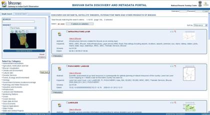
Data Discovery and Metadata Portal
Aims to improve the accessibility of a wide variety of data, together with the associated information, at different scale and from multidisciplinary sources, organized and documented in a standard and consistent way. Visit
|
 |
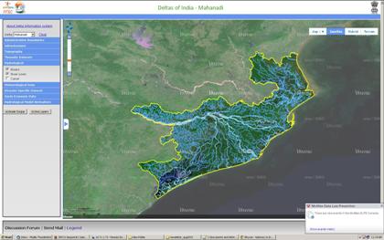
Deltas of India
The portal depicts Indian Region Delta's characteristics (hydrologic, geomorphologic, socio-economic and biological) through a range of geospatial data, integrated from multitude sources. Visit
|
 |
Drought Monitoring
This Portal facilitates the visualization of important drought indicators spatially over India along with their metadata during kharif season. The drought indicators provided are 1) Meteorological indices (Dekadal) - i) Number of Consecutive Dry Days (NCDD), ii) Number of Dry Days (NDD)
2) Spectral indices - i) Normalized Difference Vegetation Index (NDVI) ii) Normalized Difference Water Index (NDWI), iii) Vegetation Condition Index (VCI) and 3) Soil Moisture Indices at i) 5 cm, ii) 15 cm and iii) 30cm Visit
|
 |
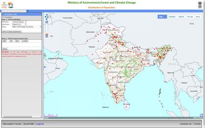
Distribution of Flycatchers
Flycatchers locations based on the handbook of the Birds of India and Pakistan having option to query based on common name, sighted location and species. Visit
|
 |
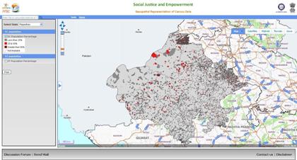
Geospatial Representation of Census data
Customized application having state wise Geospatial Representation of Census(2011) data.Visit
|
 |
Spatial Flood Early Warning System
Web-enabled Spatial Flood Early Warning System for the Godavari Basin has been developed using space inputs through hydrological modelling approach. The system gives medium range flood forecast in spatial environment prior to the event showing the possible areas that will come under submergence. It gives forecast with improve lead time with more accurate flood discharge estimation compared to the conventional methods. This information is useful for flood relief, rescue and management activities. Visit
|
 |
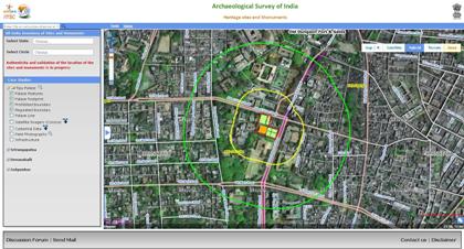
Heritage sites and Monuments
All India inventory of Heritage sites and Monuments with specific case studies of Tipu Palace, Srirangapatna, Devanahalli and Golgumbaz. Visit
|
 |
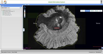
Island Information System
Visualization of Islands of India and a platform for developmental decision making. Visit
|
 |
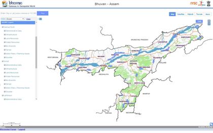
NEDRP Layers on Bhuvan
Live link of the GIS databases of North East Region (NER) that showcases tools for better planning and development of North Eastern States. Visit
|
 |
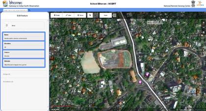
School Bhuvan - NCERT
An e-learning portal for the students providing map based learning to bring awareness about country's natural resources, environment and their role in sustainable development including neighbourhood mapping tools.Visit
|
 |
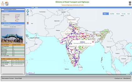
Toll Information System
Visualization of database of National Highways and Toll plazas with information on tariff, nearby facilities available and photograph. Visit
|
 |
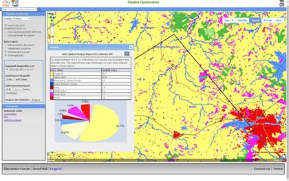
Pipeline Optimization
The portal facilitates the Evaluation of Water Supply Pipeline Grid using Geospatial Techniques. Feasibility Assessment of such proposed pipeline grid is carried out by: i). Visualizing topographic profile along pipeline routes using Digital Elevation Model ii) Identifying geomorphologic hindrances if any and assess the impact of land-use/land-cover along the pipeline route, using Geomorphological and land use information derived from NGLM and LULC databases. Visit
|
 |
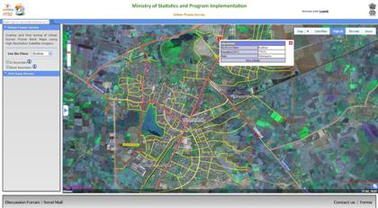
Urban Frame Survey
Application aids for Overlay and Fine tuning of Urban Survey Frame Block Maps using High Resolution Satellite Imagery.Visit
|
 |
Bhuvan Documents - User Handbook and Others
Download 1.User Hand book, 2.Geospatial Contents
3.System and Software Description, 4.Geospatial Content Standards 5.Mobile Applications, 6.Applications and Outputs.
|
Bhuvan Overview Training - Sep 30 - Oct 1, 2015 |
