State Portals
- Last edited 5 years ago by Bhuvan Admin
Introduction
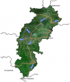
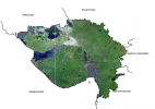
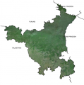
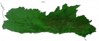
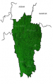
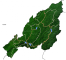
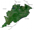
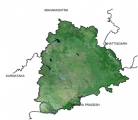
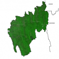
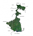
State Portals basically collates all the Geo-spatial layers available in Bhuvan with respect to a specific State. It is available for all the states. Some of the layers (under NEDRP) for North eastern states are pooled from NESAC servers as service. Geo-spatial layers vary from state to state as per the data layers shared by state centers.
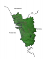
Geo-spatial Layers available for all State portals.
- Administrative Boundaries
- Agriculture & Soils
- Ground Water Prospects
- Land Use Land Cover
- Geology & Mines
- Census (2011)
For More information please click on the State portals -
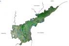
Andhra Pradesh
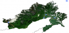
Arunachal Pradesh
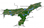
Assam
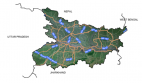
Bihar
Chhattisgarh
Goa
Gujarat
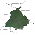
Haryana
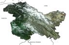
Himachal Pradesh
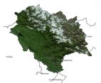
Jammu and Kashmir
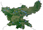
Jharkhand
Karnataka
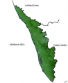
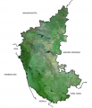
Kerala
Madhya Pradesh
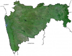
Maharashtra
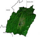
Manipur
Meghalaya
Mizoram
Nagaland
Odisha
Punjab
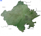
Rajasthan
Sikkim
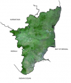
Tamilnadu
Telangana
Tripura
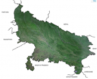
Uttar Pradesh
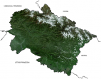
Uttarakhand
West Bengal
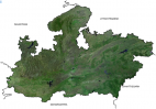
New delhi