You are viewing an old version of this page. Return to the latest version.
Version of 16:39, 6 January 2020 by Bhuvan Admin
State Portals
- Last edited 4 years ago by Bhuvan Admin
Revision as of 16:39, 6 January 2020 by Bhuvan Admin (talk | contribs) (Created page with "Back == Introduction == State Portals basically collates all the Geo-spatial layers available in Bhuvan with respect to a specific State. It is available for all the...")
Introduction
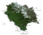
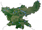
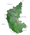
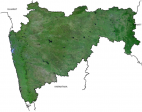
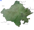
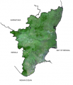
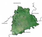
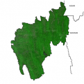
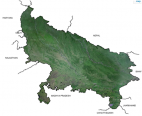
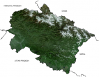
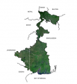
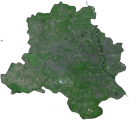
State Portals basically collates all the Geo-spatial layers available in Bhuvan with respect to a specific State. It is available for all the states. Some of the layers (under NEDRP) for North eastern states are pooled from NESAC servers as service. Geo-spatial layers vary from state to state as per the data layers shared by state centers.
Geo-spatial Layers available for all State portals.
- Administrative Boundaries
- Agriculture & Soils
- Ground Water Prospects
- Land Use Land Cover
- Geology & Mines
- Census (2011)
For More information please click on the State portals -


